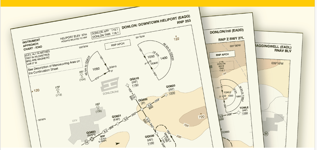
The term aeronautical chart refers to all sorts of maps used for air navigation provided that they include at least some of the following information: topographic features, hazards and obstructions, navigation routes and aids, airspace, and airports.
An aeronautical chart provides the 3-dimensional view necessary for flight planning. It is not a map. While a road map emphasizes roads and also includes the locations of physical features such as mountains, rivers, etc… Aeronautical charts show pilots what they will see out the window and provides the key information needed for the included aeronautical-related facilities such as airports, navigation facilities, etc…
Not only do aeronautical charts show the “view from above” showing the ground, but they also provide pilots information on the airspace that lays above these items on the ground.
This course introduces its participants to the different types of aeronautical charts with specific focus on those within the Piarco Flight Information Region.
